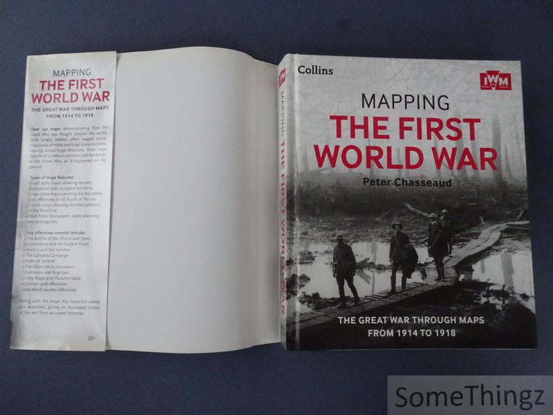
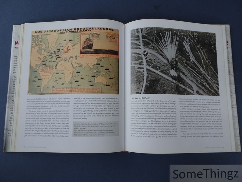
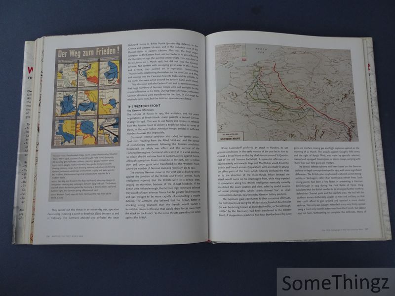
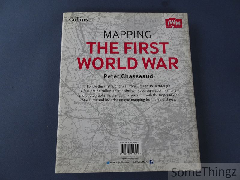
Cover van Mapping the First World War. The Great War Through Maps from 1914 to 1918.

Mapping the First World War. The Great War Through Maps from 1914 to 1918.

- ID: 16159

Naar zoekresultaten € 25 In winkelwagen Naar verlanglijst Heb je een vraag?
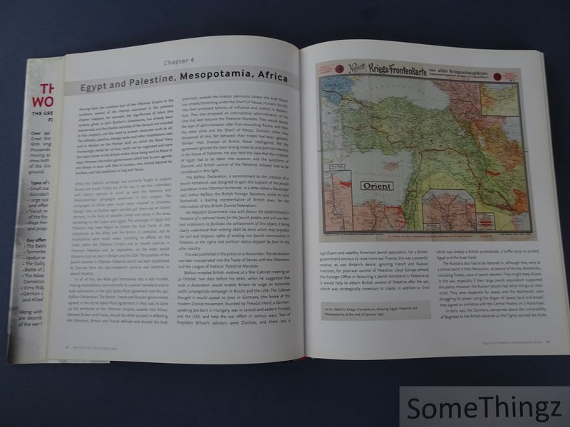
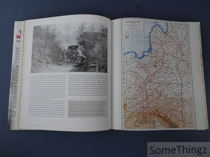
Follow the conflict of the Second World War from 1939 to 1945 in this unique volume, published in association with Imperial War Museums, London, featuring historical maps and photographs from their archives, and fascinating commentary from an expert historian.

Bound, cloth with original dustjacket, 304pp., 22,5x27cm., richly illustr. in col. and b/w., in very good condition (dustjacket with light traces of use and somewhat yellowed on the edges and spine). ISBN: 9780007522200. 5x27cm 304 pp.

Collins 2013 Glasgow