
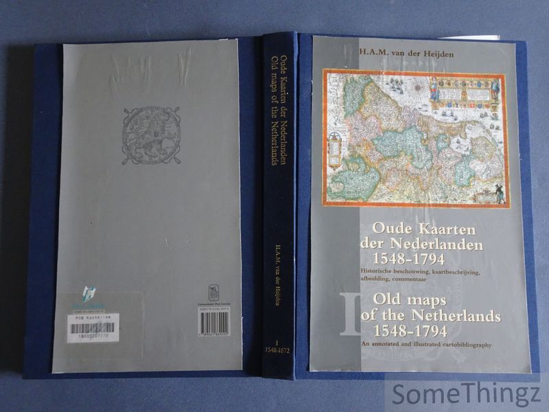
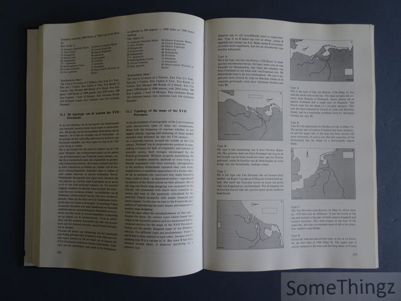
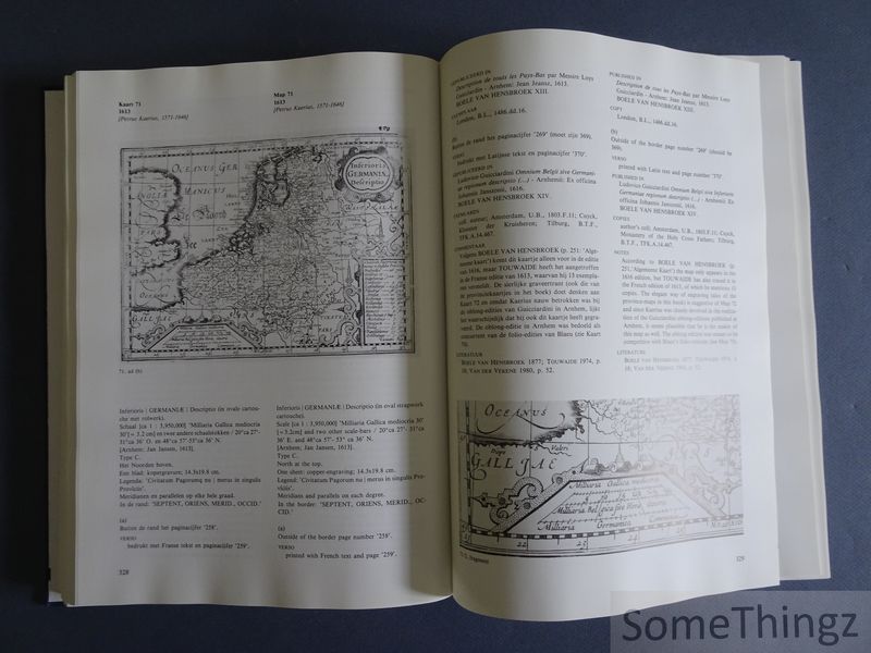
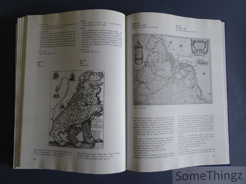
Oude kaarten der Nederlanden 1548-1794, Historische beschouwing, kaartbeschrijving, afbeelding, commentaar. Old Maps of the Netherlands 1548-1794, An annotated and illustrated cartobibliography. Deel I / Volume I: 1548-1672.
Heijden, H.A.M. van der. - ID: 9404
Enkel deel I. Gebonden, linnen met deels bewaarde stofwikkel (geplastificeerd en op de band gelijmd), 484pp., 23x32.5cm., talrijke z/w ills., in acceptabele staat (afgevoerd bibliotheek exemplaar met geplastificeerde stofwikkel en stempels op de titelpagina, binnenzijde goed). . 23x32cm 484 pp.
Canaletto Universitaire Pers Leuven 1998 Alphen ad Rijn Leuven